More Information
(click here to download a PDF of the The Rideau Route)
This article is based on my research into this topic. I was somewhat surprised when I moved to the Rideau in the mid-1990s that no one knew to what degree the Rideau had been flooded. There was no published research on this topic and Parks Canada didn’t have any data on flooding depths. I was also surprised to learn that even though Parks Canada had done a great deal of historical research on the Rideau during the 1970s and 1980s, the first three major surveys of the Rideau had never been transcribed.
It was my interest in the actual amount of flooding that led to research into the topic, with the support of Jonathan Moore, marine archaeologist with Parks Canada (Jonathan also has a great interest in the topic, but had no mandate to pursue it).
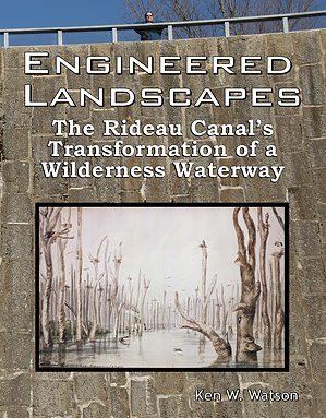
So, in 2003, I started to research, in detail, the exact flooding depths for each section of the Rideau. As those numbers revealed themselves (with many headaches – the numbers were never directly documented in any archival material, and most numbers that were stated in old reports were wrong), the knowledge of those depths also helped to reveal the pre-canal Rideau. That led to the writing, and subsequent publication in 2006 of the research document “Engineered Landscapes: The Rideau Canal’s Transformation of a Wilderness Waterway.” That 300 page tome is split into two sections; Part 1 which looked at the pre-canal waterway and the first surveys of the route and Part 2 which dealt with the engineering of the canal and the detailed flooding calculations that I did to determine the 1832 and present day depths of flooding.
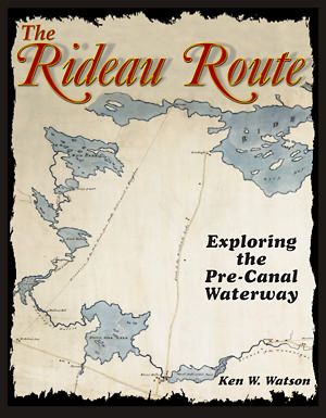
While Engineered Landscapes is a good book for real Rideau keeners, I realized that there was a general audience interest in the pre-canal Rideau – what did it look like?, what did the first surveyors see? That prompted a general audience re-write of Part 1 of Engineered Landscapes, resulting in the 2007 publication of “The Rideau Route: Exploring the Pre-Canal Waterway.”
For those that just wish to take a 1783 trip down the Rideau and read first hand accounts of the early surveys, then The Rideau Route is a good book. It should be available at all libraries in the Rideau Corridor. I reprinted it three times, but in 2022 decided to only offer it as a free PDF download (printing was getting too expensive). You can download it here (see bottom of page): Rideau Route page.
For those that want all the details, including the flooding depths (and how they were calculated), plus information on the engineering structures that caused the flooding, then you’ll want Engineered Landscapes. It is also available as a free PDF download (300 Mb)
Both of these books are also available at all libraries in the Rideau Corridor.
|


